6 Best Hiking Apps for Route Planning in 2026
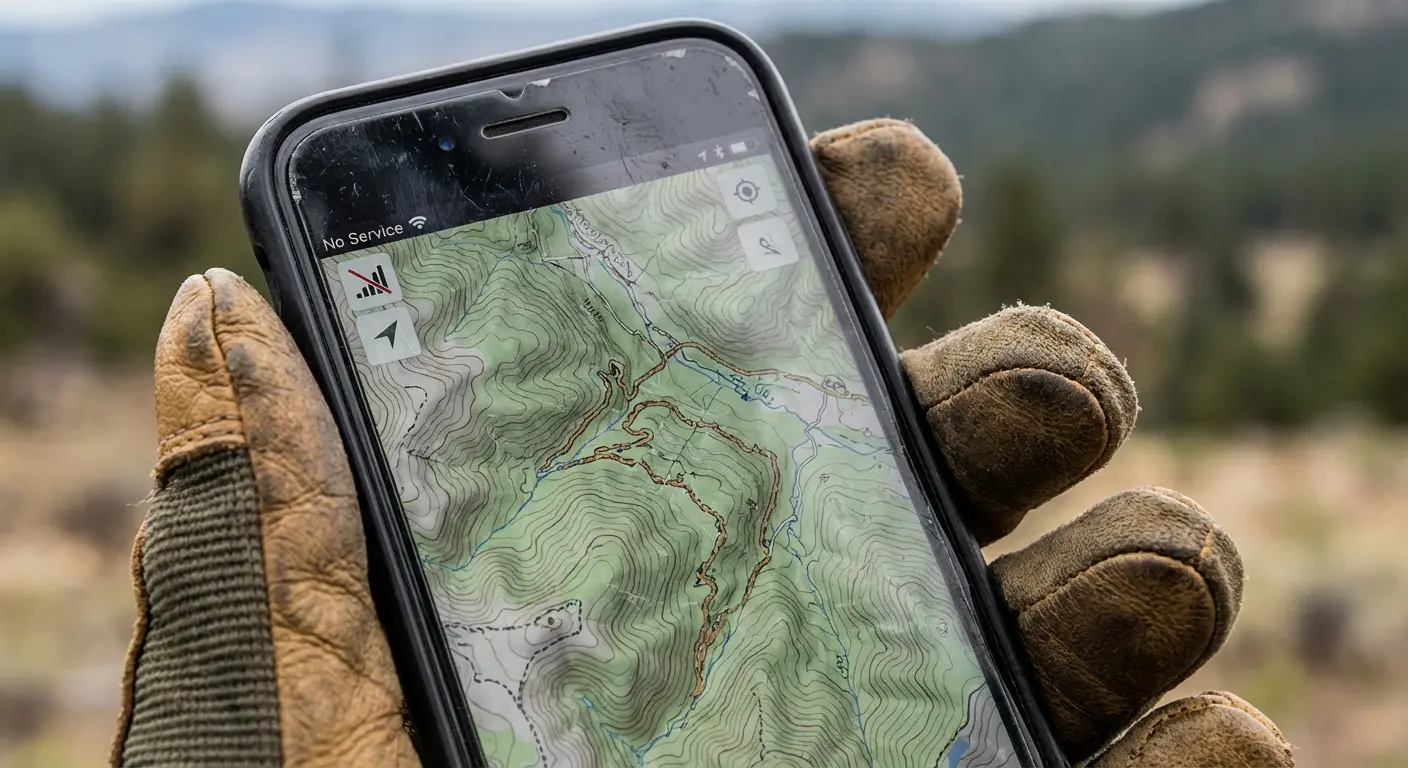
Planning a hiking route can be exciting, but getting it right requires tools that help you find trails, check terrain, and prepare for changing conditions. Without the right planning resources, it’s easy to overlook important details like elevation changes, trail difficulty, or access points. Hiking apps designed for route planning make this process easier by putting maps, GPS tracking, and trail data right at your fingertips.
In this guide, we’ll walk through the best hiking apps for route planning to help you choose the right digital tools for your adventures. You’ll learn what features matter most, see top‑rated options for beginners and experienced hikers alike, and get tips on using these apps effectively to plan safe, enjoyable hikes.
1. Locus Map 4

The Locus Map 4 – Navigation App is ideal for outdoor enthusiasts who enjoy activities such as hiking, biking, and geocaching. Whether you’re a casual adventurer or a serious explorer, this app provides robust navigation tools tailored to enhance your outdoor experiences. If you seek reliable, detailed maps and versatile tracking features, this app is designed for you.
Pros:
- Comprehensive offline maps for reliable navigation in remote areas
- Supports a variety of outdoor activities including hiking, biking, and geocaching
- Customizable routes and tracks for personalized adventure planning
- Detailed map layers and points of interest for enhanced exploration
- Developed by a trusted brand, Asamm Software, s.r.o.
Cons:
- May have a learning curve for beginners due to extensive features
- Some advanced functionalities require in-app purchases or subscriptions
- Performance can vary depending on device capabilities
The Locus Map 4 app offers an impressive range of features designed to improve your outdoor navigation. It allows users to download detailed offline maps, making it possible to explore areas without cellular coverage. This is particularly beneficial for hikers and bikers venturing into remote locations where connectivity is limited. The app’s ability to track routes, record trips, and provide real-time location data helps users stay on course and capture their adventures accurately.
Additionally, the app’s support for multiple outdoor activities like geocaching expands its usability beyond simple navigation. Users can customize their routes and access various map layers, including topographic, satellite, and cycling maps, to suit specific needs. Developed by Asamm Software, s.r.o., the app benefits from continuous updates and a strong community, ensuring reliability and enhanced user experience over time. Overall, Locus Map 4 is a versatile tool that empowers outdoor enthusiasts with precise navigation and comprehensive mapping features.
To buy this product, click here.
2. Map Tracker

The Map Tracker: Walking Activity App by Bulutsoft is ideal for fitness enthusiasts, casual walkers, and anyone looking to monitor their daily walking routines with precision. Whether you are a beginner aiming to increase your activity levels or an experienced walker tracking your routes and progress, this app caters to all levels of walking activity monitoring.
Pros:
- Accurate GPS tracking for detailed route mapping
- User-friendly interface designed by Bulutsoft
- Ability to monitor walking distance, time, and calories burned
- Compatible with a variety of smartphones
- Lightweight and fast performance without draining battery
Cons:
- Limited advanced fitness metrics compared to specialized apps
- Requires GPS access which may affect privacy for some users
- No built-in social sharing features
The Map Tracker: Walking Activity App offers reliable and precise GPS tracking, allowing users to visualize their walking paths on detailed maps. This feature not only helps in setting and achieving walking goals but also provides motivation by showcasing progress over time. The app’s intuitive design by Bulutsoft ensures that users of all ages can easily navigate and utilize its functions without any technical difficulties.
In addition to tracking essential walking metrics such as distance, duration, and calories burned, the app’s lightweight nature means it runs smoothly on most smartphones without excessive battery consumption. This makes it convenient for daily use, whether during short walks around the neighborhood or longer hikes. Overall, the Map Tracker is a practical choice for anyone committed to maintaining an active lifestyle through walking.
To buy this product, click here.
3. Us Topo Maps
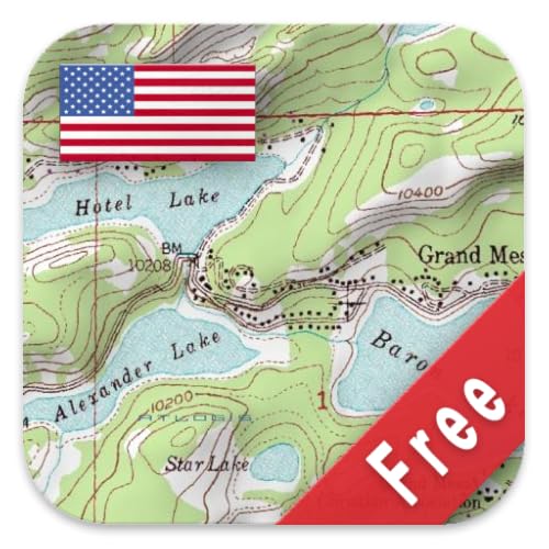
The US Topo Maps Free by ATLOGIS Geoinformatics GmbH & Co. KG is ideal for outdoor enthusiasts, hikers, campers, and professionals who require detailed and reliable topographic maps of the United States. If you need accurate terrain information and easy access to high-quality maps without cost, this product is perfect for you.
Pros:
- Completely free access to detailed topographic maps.
- High-quality, accurate mapping data provided by a trusted manufacturer.
- Ideal for planning outdoor activities such as hiking, camping, and land navigation.
- Easy to use and download maps for offline access.
- Reliable and regularly updated by ATLOGIS Geoinformatics GmbH & Co. KG.
Cons:
- Limited to United States geography only.
- No advanced features like GPS tracking or real-time updates included.
- Requires some familiarity with reading topographic maps for best use.
The US Topo Maps Free offers users access to detailed and precise topographic data that is essential for effective outdoor navigation and planning. Developed by ATLOGIS Geoinformatics GmbH & Co. KG, these maps provide comprehensive terrain details, including elevation contours, water features, and land cover, enabling users to visualize the landscape accurately. The free availability of such high-quality maps makes it a valuable resource for both casual users and professionals alike.
Additionally, the maps are designed for easy downloading and offline usage, making them highly practical for areas with limited or no internet connectivity. While the product focuses purely on mapping without extra features like GPS integration, its core strength lies in delivering reliable and up-to-date topographic data. This makes the US Topo Maps Free a great tool for anyone needing precise geographic information to enhance their outdoor adventures or professional work.
To buy this product, click here.
4. Osmand

The OsmAnd — Offline Travel Maps & Navigation app is ideal for travelers, hikers, and anyone who frequently visits areas with limited or no internet connectivity. This app is perfect for users who want reliable, detailed offline maps and navigation without relying on data or Wi-Fi, making it an essential tool for adventurous explorers and international travelers.
Pros:
- Offers detailed offline maps that work without an internet connection.
- Provides reliable navigation for driving, walking, and cycling.
- Allows users to download maps by region, saving storage space.
- Includes features such as points of interest, route planning, and GPS tracking.
- Supports multiple map sources and customization options.
Cons:
- The user interface can be complex for beginners.
- Some advanced features require in-app purchases or a paid version.
- Occasional map data updates may take time to download.
The OsmAnd app stands out by providing highly detailed and accurate offline maps, which is invaluable for users traveling in remote locations. Its ability to function without internet access ensures that users can confidently navigate unfamiliar areas without worrying about connectivity issues. The app also offers versatile navigation modes, including driving, walking, and cycling, catering to a wide range of travel needs.
Additionally, OsmAnd’s customization options and extensive map data, such as points of interest and route planning tools, enhance the overall travel experience. While the interface may require some time to master, the benefits of reliable offline navigation and comprehensive mapping make it a powerful companion for any traveler looking to explore with confidence.
To buy this product, click here.
5. Osmand+

OsmAnd+ Maps & Navigation is ideal for travelers, outdoor enthusiasts, and anyone who values reliable, offline navigation on their mobile device. This app is perfect for those who frequently explore remote areas where internet connectivity is limited or unavailable, as well as users who prefer customizable map options and detailed route planning features.
Pros:
- Offline maps available, reducing dependence on mobile data.
- Highly customizable navigation settings tailored to different modes of travel.
- Detailed topographic maps and points of interest for enhanced exploration.
- Regular updates ensure up-to-date map accuracy.
- Open-source based platform allowing community contributions and improvements.
Cons:
- Initial setup and map downloads can take up significant storage space.
- Learning curve for users unfamiliar with advanced navigation features.
- Some features require a paid upgrade to OsmAnd+ for full access.
The OsmAnd+ Maps & Navigation app offers an impressive range of features designed to enhance the travel experience. Users can download comprehensive offline maps, ensuring navigation is available even without internet access. This is particularly beneficial for adventurers trekking in remote locations or international travelers avoiding roaming charges. The app’s customizable routing options allow users to select routes suitable for driving, cycling, or walking, making it versatile for various transportation preferences.
Furthermore, the app provides rich details such as topographic information and points of interest, helping users discover new places and plan trips more effectively. The integration of community-driven map updates guarantees that users benefit from accurate and current data. While some advanced functionalities require a subscription to OsmAnd+, the value offered by the app’s offline capabilities and navigation flexibility makes it a worthwhile investment for serious navigators.
To buy this product, click here.
6. Better Maps

The Better Maps app by WeLoveMaps is ideal for travelers, commuters, and outdoor enthusiasts who require reliable and detailed GPS navigation and extensive location information. Whether you are exploring new cities, hiking in remote areas, or navigating daily routes, this app offers valuable tools to enhance your journey with its offline maps capability and user-friendly interface.
Pros:
- Accurate and detailed GPS navigation for precise directions.
- Comprehensive location information to discover points of interest.
- Ability to download offline maps for use without internet connectivity.
- Developed and supported by a trusted brand, WeLoveMaps.
- Intuitive design that makes navigation simple and efficient.
Cons:
- Some advanced features may require in-app purchases.
- Offline maps require storage space on the device.
The Better Maps application stands out with its robust GPS navigation system that ensures users receive accurate turn-by-turn directions. Its extensive location information helps users find restaurants, landmarks, and other points of interest, enriching the travel experience. The app’s capability to download offline maps is particularly beneficial for those traveling to areas with limited or no internet access, allowing uninterrupted navigation.
Moreover, the app’s user-friendly interface and reliable performance, backed by WeLoveMaps, make it a dependable choice for anyone needing precise and detailed mapping solutions. While some features may require additional purchases, the core functionalities provide excellent value, making it a practical tool for a wide range of users from daily commuters to adventure seekers.
To buy this product, click here.
Frequently Asked Questions
What Makes Locus Map 4 Ideal For Hiking?
Locus Map 4 offers detailed offline maps and customizable routes. It supports hiking, biking, and geocaching, making it versatile. Its GPS tracking and route planning help hikers stay safe and informed on trails.
How Does Map Tracker Enhance Walking Activities?
Map Tracker records your walking routes with GPS accuracy. It helps monitor distance, speed, and duration. This app motivates users by tracking progress and sharing walking stats easily.
Are Us Topo Maps Free Reliable For Navigation?
Yes, US Topo Maps Free provides accurate topographic maps. It’s useful for detailed terrain insights during hikes. The app works offline, ensuring navigation in remote areas without internet.
What Benefits Does Osmand Offer For Offline Travel?
OsmAnd provides offline maps with turn-by-turn navigation. It supports hiking and travel without data connection. The app includes points of interest and customizable map layers for better route planning.
How Is Osmand+ Different From The Free Version?
OsmAnd+ offers additional features like unlimited offline maps and no ads. It includes advanced route planning and faster updates. This version suits serious hikers needing enhanced navigation tools.
Why Choose Better Maps For Gps Navigation?
Better Maps offers precise GPS tracking and offline maps. It provides more location details than standard apps. This helps hikers find routes and points of interest easily during outdoor activities.
Conclusion
Choosing the right hiking app can make your outdoor trips safer and more fun. Apps like Locus Map 4 and OsmAnd offer detailed maps and offline access. This means you can plan routes even without internet. Map Tracker helps you keep track of your walking activities easily.
US Topo Maps Free gives you access to official topographic maps. Better Maps provides clear navigation and extra location details. Using these apps, you can find the best trails, avoid getting lost, and enjoy your hike more. Each app has unique features that fit different needs.
Try a few to see which works best for you. Good planning leads to better adventures. Stay prepared and explore nature with confidence!